Politics & Government
IT'S NASTY OUT THERE: Winter Storm Expected to Blanket Puget Sound Tonight
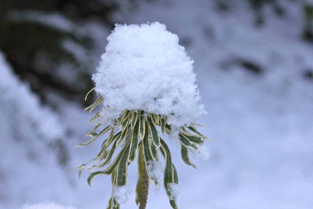
The National Weather Service predicts 6 to 14 inches of snow through Wednesday evening.


UPDATE: 9:55 a.m., 1/17/12
Forecasters are now saying the South Sound is expected to get around five inches of snow tonight.
---
Find out what's happening in University Placewith free, real-time updates from Patch.
Heavy.
Heavy, as in 6-to-14-inches-of-snow heavy.
Find out what's happening in University Placewith free, real-time updates from Patch.
That's how the National Weather Service is describing the winter storm that's expected to blanket the Puget Sound later Tuesday through Wednesday:
WINTER STORM WATCH REMAINS IN EFFECT FROM MIDNIGHT PST TONIGHT THROUGH TUESDAY AFTERNOON...WINTER STORM WATCH REMAINS IN EFFECT FROM LATE TUESDAY NIGHT THROUGH WEDNESDAY EVENING...
* SOME AFFECTED LOCATIONS...SEATTLE...TACOMA...BREMERTON...
SHELTON.
* TIMING...SNOW ACCUMULATIONS ARE POSSIBLE TONIGHT THROUGH TUESDAY AS COOLER UNSTABLE AIR CONTINUES OVER THE AREA. LOCAL ACCUMULATIONS UP TO 3 INCHES ARE POSSIBLE. A MUCH MORE SIGNIFICANT WINTER STORM IS LIKELY LATE TUESDAY NIGHT THROUGH WEDNESDAY OR WEDNESDAY NIGHT. SNOW WITH THIS SYSTEM WILL BE WIDESPREAD AND HEAVY.
* SNOW ACCUMULATIONS...AT THIS TIME UP TO 3 INCHES ARE POSSIBLE ON TUESDAY. TEMPERATURES WILL REMAIN STEADY OR GRADUALLY FALL DURING THE AFTERNOON HOURS...SO ROADWAYS MAY FREEZE. A MUCH MORE SIGNIFICANT WINTER STORM IS LIKELY LATE TUESDAY NIGHT THROUGH WEDNESDAY EVENING. WEDNESDAYS STORM MAY BRING 6 TO 14 INCHES OF SNOW.
So I don't know about ya'll, but what that means to me is be prepared for a thick coating of the white stuff. The NWS recommends having an extra flashlight, food, water and blankets in case of emergency.
Get more local news delivered straight to your inbox. Sign up for free Patch newsletters and alerts.